
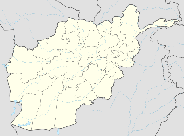
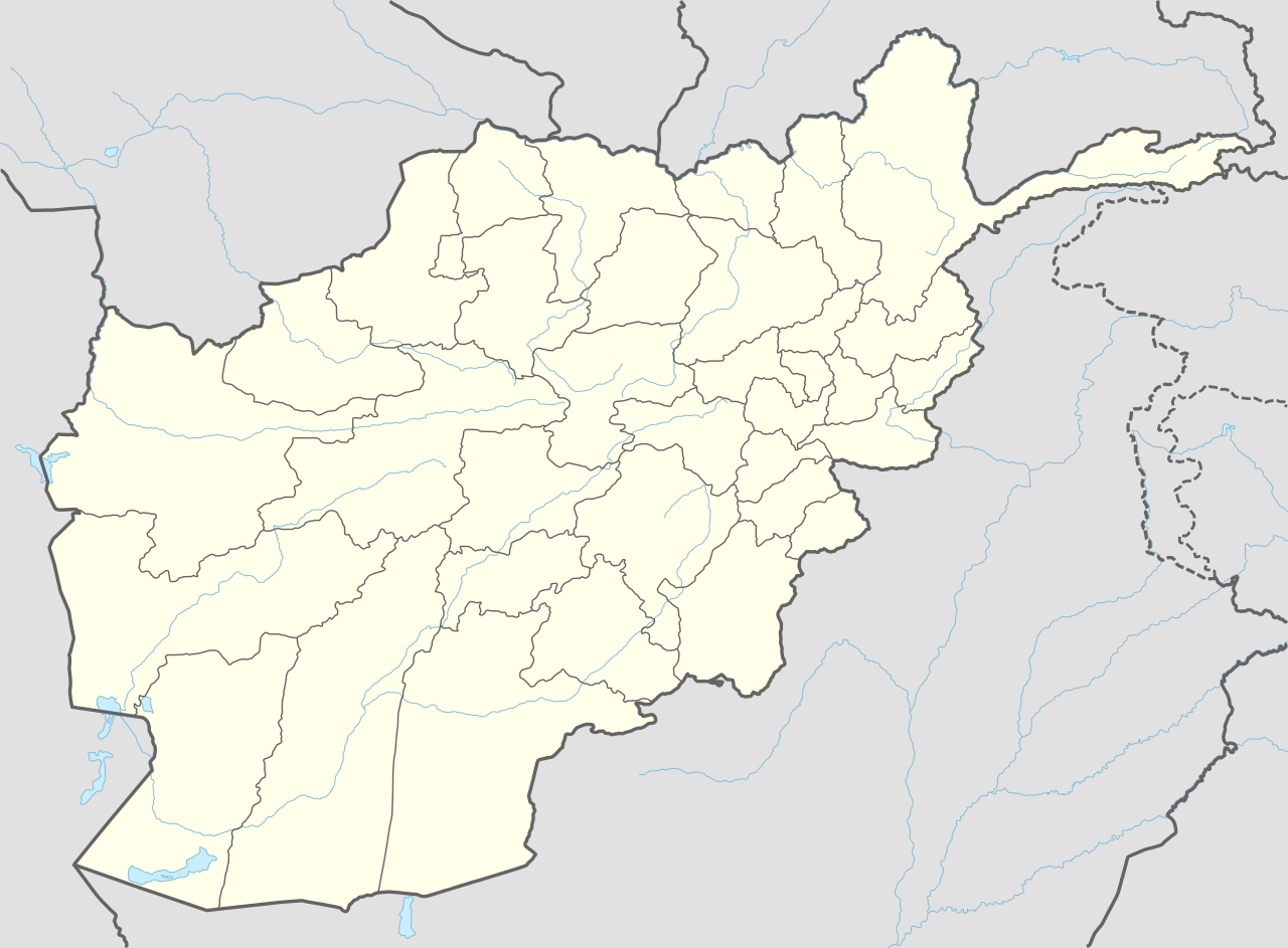
Αρχείο:Afghanistan adm location map.svg

Εικόνα σε υψηλότερη ανάλυση (Αρχείο SVG, ονομαστικό μέγεθος 1.807 × 1.331 εικονοστοιχεία, μέγεθος αρχείου: 305 KB)
|
|
Αυτό το αρχείο και η περιγραφή του προέρχονται από το Wikimedia Commons. Οι πληροφορίες από την σελίδα περιγραφής του εκεί εμφανίζονται παρακάτω. |
Σύνοψη
| Περιγραφή |
Deutsch: Positionskarte von Afghanistan
English: Location map of Afghanistan
پښتو: د افغانستان نقشه
|
||||||||||||
| Ημερομηνία | |||||||||||||
| Πηγή |
Own work using:
|
||||||||||||
| Δημιουργός | NordNordWest | ||||||||||||

|
This map has been made or improved in the German Kartenwerkstatt (Map Lab). You can propose maps to improve as well.
|
Αδειοδότηση
Usage of this file with:

explanatory notes: Legally binding is only the full legalcode. For a free usage I recommend to respect the following licence conditions:
1. Provide my name as given above: NordNordWest,
2. a copy of, or the URI for, the applicable license: https://creativecommons.org/licenses/by-sa/3.0/de/legalcode,
3. the title of the work,
4. in the case of an adaptation, a credit identifying the use of the work in the adaptation.
This license and the rights granted hereunder will terminate automatically upon any breach by you of the terms of this license. Any of the above conditions can be waived if you get permission from the copyright holder. If you have questions or wish differing conditions, please contact me through nnwest or my discussion page ![]() t-online.de
t-online.de
- Είστε ελεύθερος:
- να μοιραστείτε – να αντιγράψετε, διανέμετε και να μεταδώσετε το έργο
- να διασκευάσετε – να τροποποιήσετε το έργο
- Υπό τις ακόλουθες προϋποθέσεις:
- αναφορά προέλευσης – Θα πρέπει να κάνετε κατάλληλη αναφορά, να παρέχετε σύνδεσμο για την άδεια και να επισημάνετε εάν έγιναν αλλαγές. Μπορείτε να το κάνετε με οποιοδήποτε αιτιολογήσιμο λόγο, χωρίς όμως να εννοείται με οποιονδήποτε τρόπο ότι εγκρίνουν εσάς ή τη χρήση του έργου από εσάς.
- παρόμοια διανομή – Εάν αλλάξετε, τροποποιήσετε ή δημιουργήσετε πάνω στο έργο αυτό, μπορείτε να διανείμετε αυτό που θα προκύψει μόνο υπό τους όρους της ίδιας ή συμβατής άδειας με το πρωτότυπο.

Ιστορικό αρχείου
Κλικάρετε σε μια ημερομηνία/ώρα για να δείτε το αρχείο όπως εμφανιζόταν εκείνη τη στιγμή.
| Ώρα/Ημερομ. | Μικρογραφία | Διαστάσεις | Χρήστης | Σχόλια | |
|---|---|---|---|---|---|
| τελευταία | 18:11, 25 Σεπτεμβρίου 2014 | | 1.807 × 1.331 (305 KB) | NordNordWest | == {{int:filedesc}} == {{Information |Description= {{de|1=Positionskarte von Afghanistan}} {{en|1=Location map of Afghanistan}} {{Location map series N |stretching=115 |top=38.8 |bottom=29.0 |left=60.0 |right=75.3 }} |Source={{Own using}} * World Data... |
Συνδέσεις αρχείου
Τα παρακάτω λήμματα συνδέουν σε αυτό το αρχείο:
- Ίλμπακ
- Αλεξάνδρεια στον Καύκασο
- Βαχσάκ
- Γκαζνί
- Ζαράντζ
- Καμπούλ
- Κανταχάρ
- Κουντούζ
- Λασκάρ Γκα
- Μαζάρι Σαρίφ
- Μεχταρλάμ
- Μπαγκράμ
- Μπαλχ
- Μπαμιάν
- Περιοχή Χουαχάν
- Πουλ-ι-Χομρί
- Σαρ-ε Πολ
- Σεμπαργάν
- Ταλογκάν
- Τζαλαλαμπάντ
- Τσαγκτσαράν
- Τσαρικάρ
- Φαράχ (πόλη)
- Φεϋζαμπάντ
- Χεράτ
- Χοστ
- Πρότυπο:Location map Αφγανιστάν
- Πρότυπο:Location map Αφγανιστάν/τεκμηρίωση
Καθολική χρήση αρχείου
Τα ακόλουθα άλλα wiki χρησιμοποιούν αυτό το αρχείο:
- Χρήση σε af.wikipedia.org
- Χρήση σε an.wikipedia.org
- Χρήση σε ar.wikipedia.org
- Χρήση σε ast.wikipedia.org
- Fayzabad
- Ishkashim
- Khandud
- Qal'eh-ye Panjeh
- Qala i Naw
- Bala Murghab
- Puli Khumri
- Baghlan (ciudá)
- Nahrin
- Dahana i Ghuri
- Andarab
- Tash Gozar
- Sholgara
- Qarchi Gak
- Dawlatabad (Balkh)
- Balkh (ciudá)
- Mazar-e Sharif
- Bamiyan (ciudá)
- Panjab
- Nili
- Farah (capital)
- Shindand
- Anar Dara
- Maymana
- Andkhoy
- Darzab
- Dawlat Abad
- Ghazni (capital)
- Chaghcharan
- Taywara
- Lashkar Gah
- Sangin
- Herat (ciudá)
- Obe
- Islam Qala
- Ghurian
- Karukh
- Kohsan
- Kushk
- Toraghundi
- Tir Pol
Δείτε περισσότερη καθολική χρήση αυτού του αρχείου.